AUTOMATED AERIAL ASSET INSPECTION
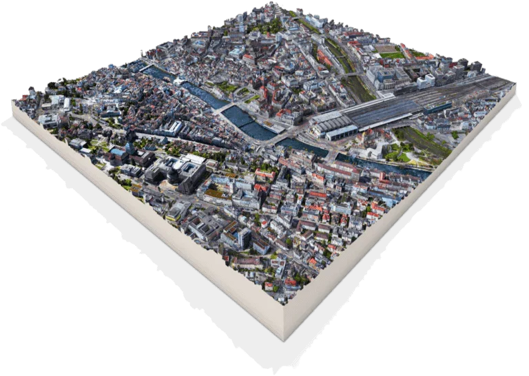
Precision Aerial Mapping & Photogrammetry
Utilizing state-of-the-art unmanned aerial vehicles (UAVs), we conduct non-destructive structural integrity inspections, thermal imaging analysis, and industrial asset monitoring. Our precision data collection helps commercial operations reduce maintenance costs and improve workplace safety baseline metrics.
Advanced Thermal Inspections
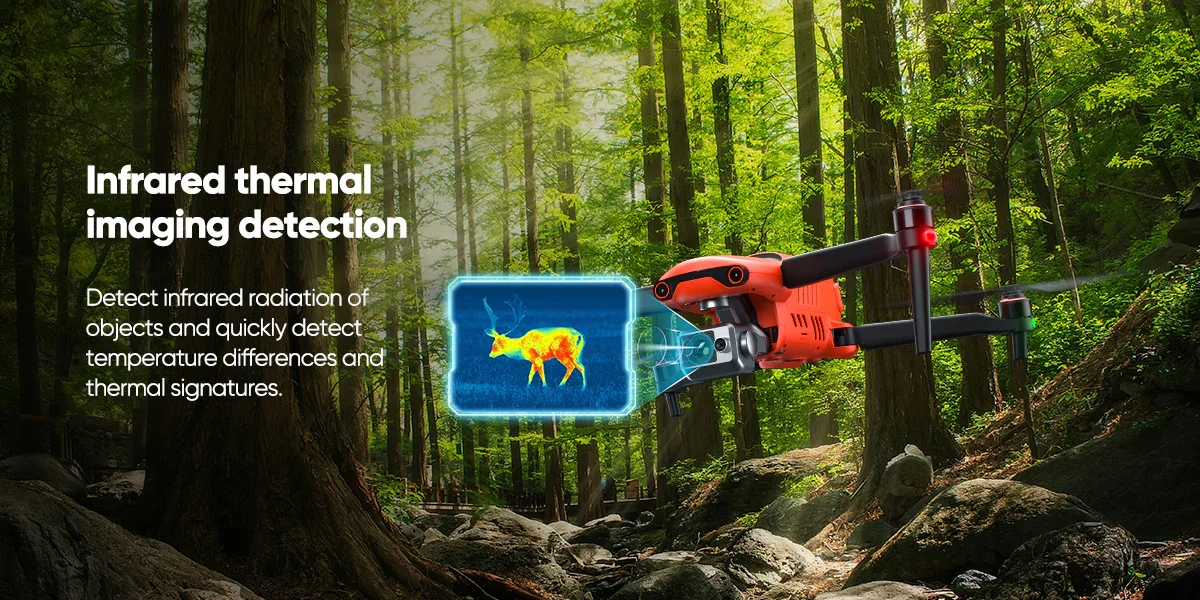
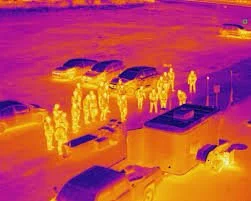
Commercial Radiometric Thermal Analytics
Detect hidden asset issues before they become catastrophic failures. Our advanced radiometric thermal imaging services provide critical diagnostic scans for commercial roof inspections, solar panel arrays, utility infrastructure, and building envelope energy loss. Identify moisture intrusion, electrical hot spots, and structural anomalies safely from the air.
Commercial Aerial Photography & Media
High-End Aerial Media & Asset Showcases
Capture your assets from their best perspective. We provide ultra-high-definition 4K aerial photography and video production for commercial and independent listings, corporate marketing, architectural showcases, and progress reporting. Deliver stunning, cinematic visuals that captivate investors and stakeholders.